Rocks, earth
Diameter: 140 ft. (42.7 meters); Maximum height: 15 ft. (4.6 meters)
© Holt/Smithson Foundation / Licensed by Artists Rights Society, New York
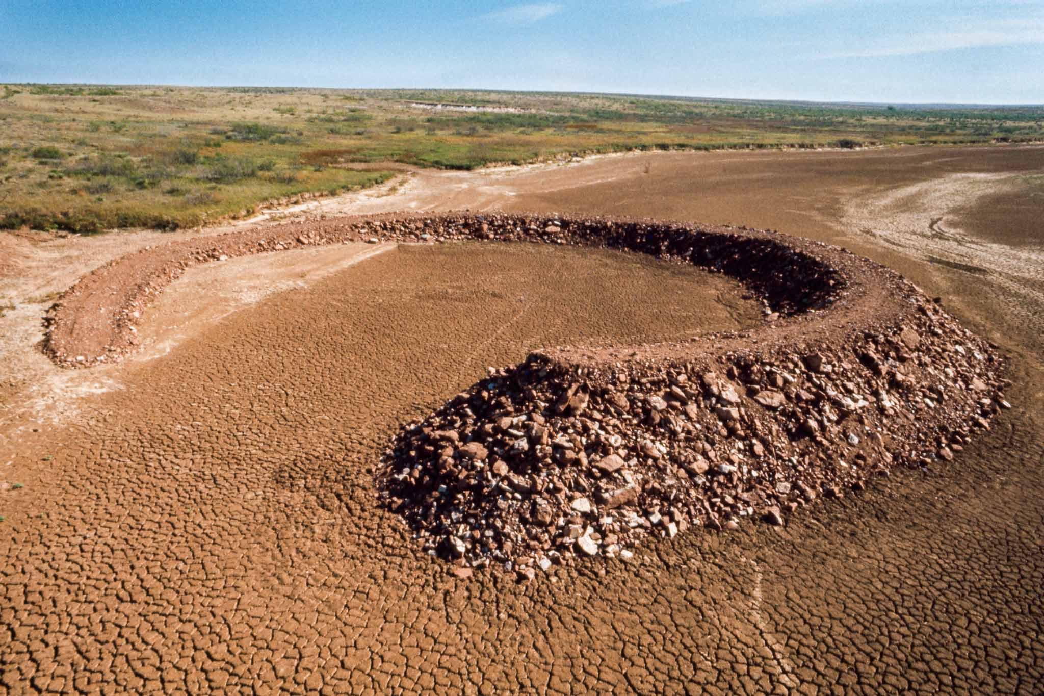
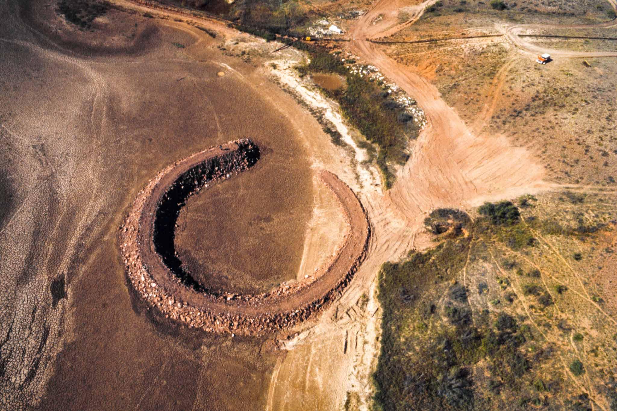
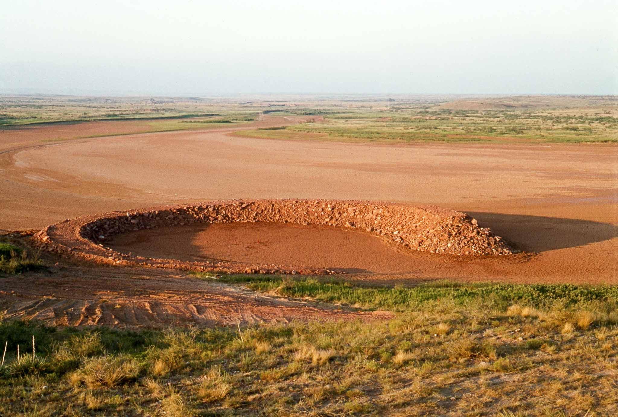
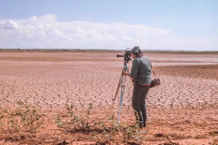
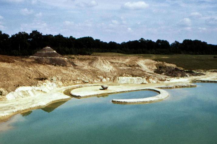
Robert Smithson’s Amarillo Ramp is located seventeen miles northwest of Amarillo, Texas, on the edge of Tecovas Lake, a constructed reservoir that is now dry. The artwork was commissioned by Stanley Marsh 3, a local rancher and patron of the arts, who described the earthwork as a “comma in the landscape.”
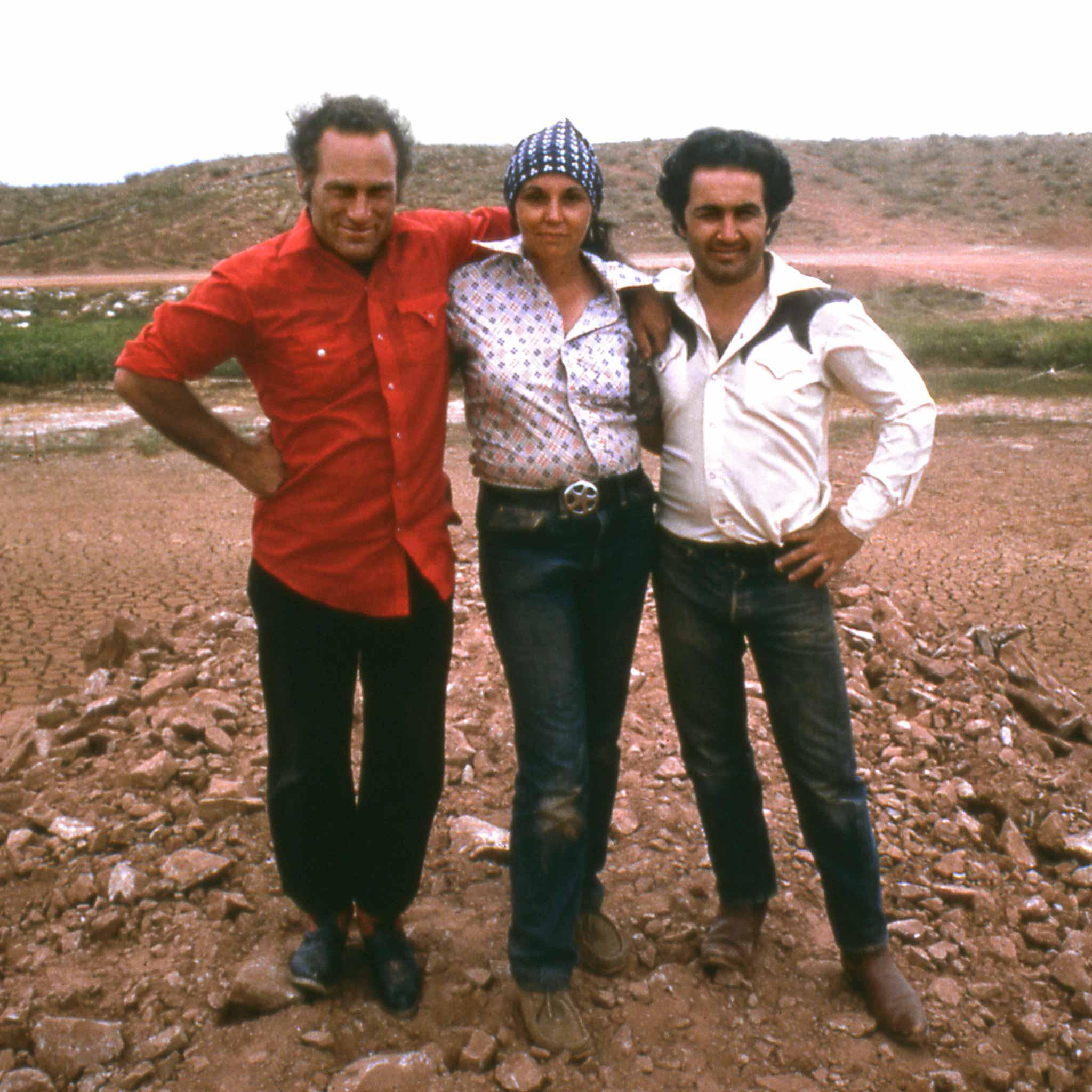
On July 20, 1973, while surveying and photographing the site of the earthwork in progress, Smithson died in a small airplane accident along with pilot Gale Ray Rogers and photographer Richard I. Curtin. Following Smithson’s death, Nancy Holt, Richard Serra, and Tony Shafrazi worked with local tradespeople to complete Amarillo Ramp according to his specifications.
Overgrown with mesquite and altered by erosion, Amarillo Ramp bears witness to the processes of change that Smithson understood as intrinsic to landscape itself. Its shifting form reflects his interest in geological time, transformation, and the interaction between artwork and site. Continued efforts to preserve the work as a ruin speak to the enduring significance of Smithson’s legacy.
Amarillo Ramp (1973) is located on private land and is reached via unpaved roads. Please note that access to the site is restricted, and we are currently unable to accommodate individual visits or tours.